The destination is only the beginning
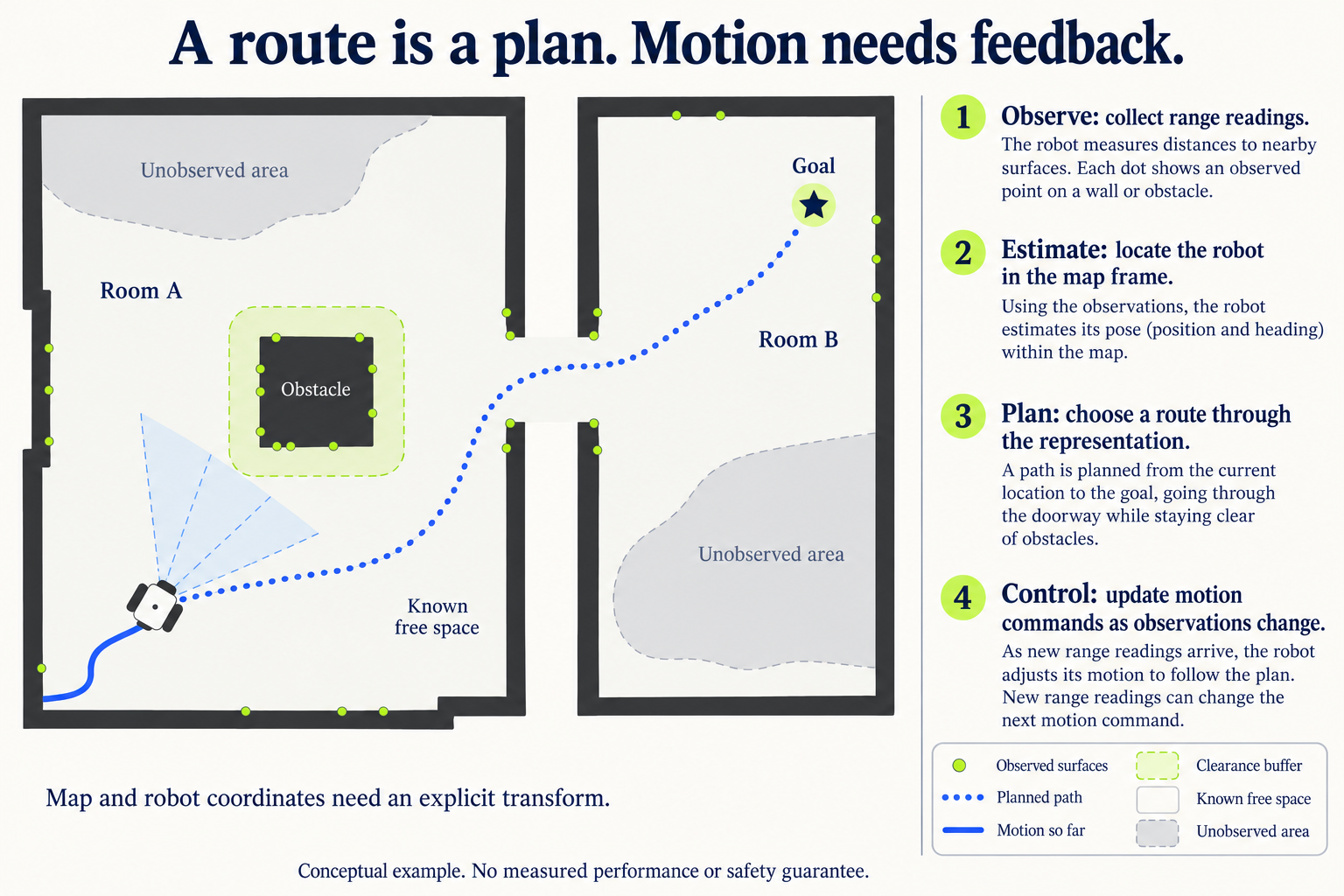
“Go to the doorway” sounds like one instruction. For a mobile robot it becomes several connected problems: observe nearby surfaces, estimate its position, represent obstacles, choose a route and generate motion commands. A change in any one of those inputs can change what the next movement should be.
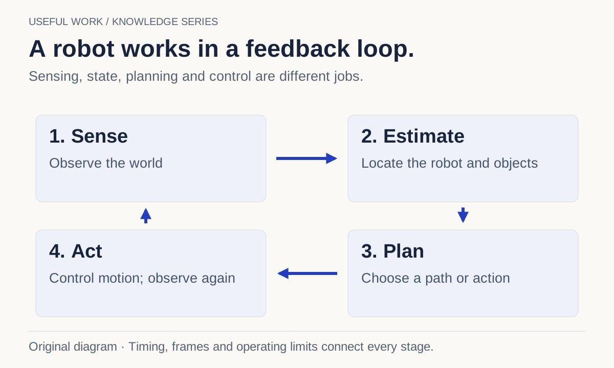
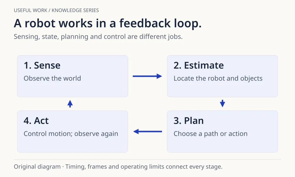
A useful way to understand the system is as a feedback loop. The robot acts, obtains new observations and revises what it believes about the world. The loop matters because the world does not pause while software computes.
Separate sensing from state estimation
A sensor produces observations: perhaps distances from a range sensor or images from a camera. Those observations are not automatically a complete map or an exact position.
State estimation combines available information to estimate quantities such as position and motion. Localization asks where the robot is in a reference frame. Odometry estimates movement over time. The two are related, but an estimate of recent motion can accumulate error without an external correction.
Coordinate frames make these relationships explicit. A point measured relative to a camera has to be related correctly to the robot and the map before a planner can use it. A precise number in the wrong frame is still the wrong input.
Give planning and control different jobs
An environmental representation records information that algorithms can use. In a navigation stack, a costmap can represent obstacles and preferences for moving through space. A high cost is an instruction to the planner about that representation; it is not a direct measurement of universal real-world danger.
A planner chooses a path or trajectory toward a goal. A controller then produces commands intended to follow the plan while responding to updated state. Nav2 documents these as distinct server responsibilities. Understanding that separation helps explain why a route can be valid while actual tracking still performs poorly.
Follow an ordinary doorway example
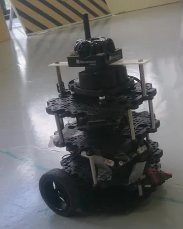
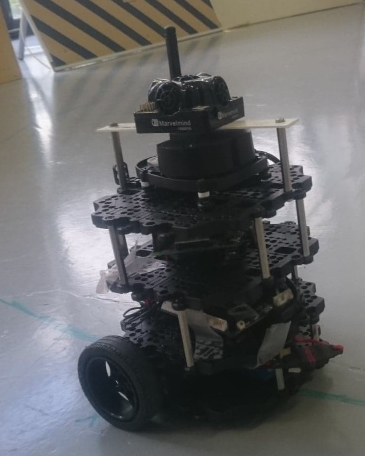
Consider a fictional robot approaching an open doorway. Its map may show a clear passage, but a person can step into it after the plan is made. New observations must update the relevant representation, and the system must respond within its operating assumptions.
Useful debugging questions are concrete: how old is the observation? Which coordinate frame does it use? Did the representation change? Did the planner receive the change? Did the controller get the latest command? A screenshot of a neat path does not answer those questions.
Read safety claims with their assumptions
The SANDO research brief describes a planner with a stated mathematical safety model, including assumptions about obstacle speed. That is a different kind of claim from “the robot never collided in this video.” Both the conditions and the observed behavior matter.
When reading a robotics announcement, look for what was sensed, what was estimated, what was guaranteed and what was actually tested. Keeping those four questions separate makes the result easier to understand without dismissing useful progress or extending it beyond its evidence.
A route is a plan. Motion needs feedback.
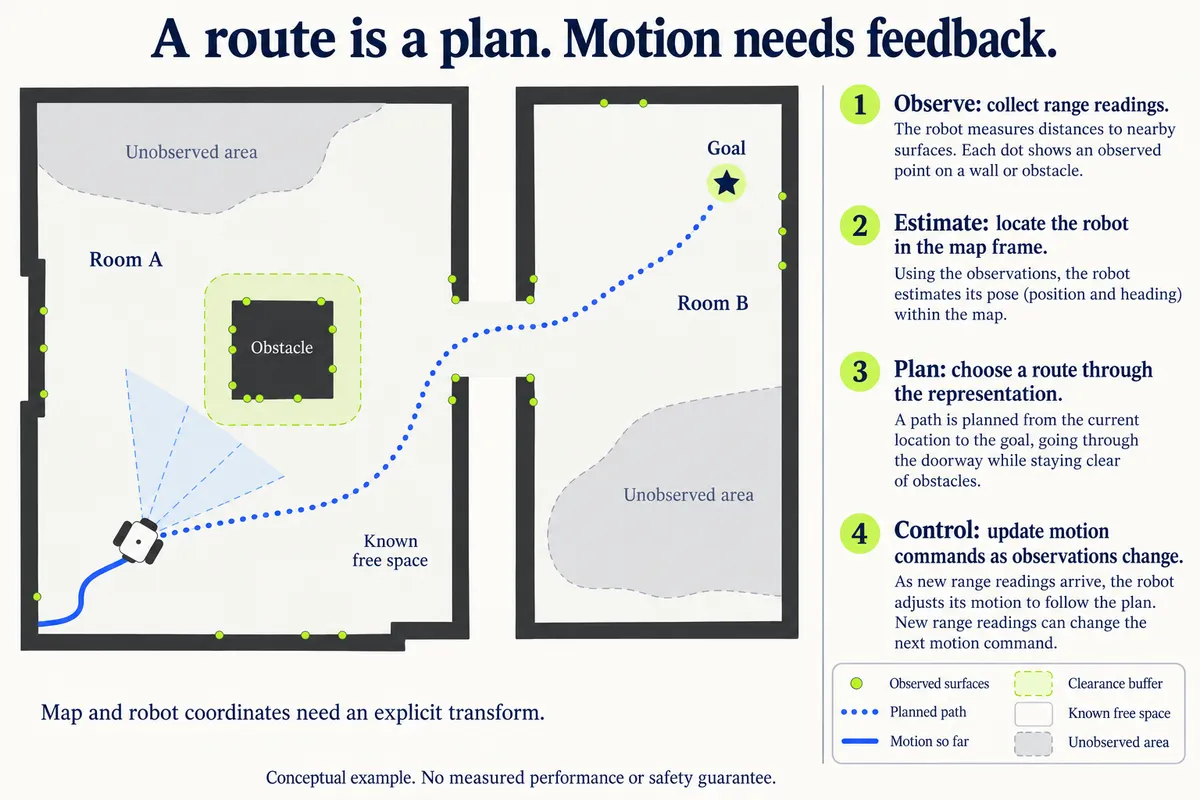
Read the figure in words
- Observations concern sensed surfaces. Unobserved space is a different state from known free space.
- The estimated robot pose needs a defined relationship to the map. Coordinates from different frames cannot be mixed directly.
- The dotted route describes intended movement. The solid trace describes motion so far; a plan is not proof that it was followed.
- A controller updates commands using the current state. New observations can require a new decision.
See the simple overview
Keep the evidence in view.
This simplified mobile-robot example is educational, not a validated safety design or instructions for operating physical hardware.
Technical sources checked: . Our source check: . This is an AI-assisted editorial explanation, not an independently reproduced experiment.
Sources & further reading
- Nav2 documentationNavigation Servers
- Nav2 documentationState Estimation
- Nav2 documentationEnvironmental Representation